
By Bicycle - On Foot - By Car - By Bus - By Train
By Bicycle
For the route from Cottenham, see "By Car" below. Most of this is on a fast, winding, unlit road (Cottenham Road) with no cycle path or footpath.
By Bicycle - By Car - On Foot - By Bus - By Train
On Foot
Distance: 2¾ miles from King's Hedges Road
As well as the routes described above, there is also a footpath from Kings Hedges Road in North Cambridge to Landbeach. Its condition varies, but it is cleared about once a year. It follows the straight line of the Roman road, the Mere Way, that once ran from Cambridge Castle to Ely and perhaps beyond.
The southern end of the footpath is on Kings Hedges Road, opposite the end of Northfield Avenue, and is entered by a wooden gate (TL454617). Walk towards the A14 embankment, following the hedge line that crosses the guided busway (formerly the railway to Oxford) at an angle. Continue towards the A14 until you reach the service road behind Cambridge Regional College. The road passes under the A14 (TL456619) and emerges beside Blackwell Travellers' Site. This is an ugly part of the route, but those who can make it past the first fifty yards will find the rest of the walk peaceful.
After the underpass, continue straight ahead to the footpath, passing between some bollards to the left of the travellers' site.
After about a mile the footpath passes Mereway Farm in Impington. The farm dogs may bark at you, but they are confined to the farm. The odd smell is from the poultry sheds. The path then crosses Butt Lane (watch out for fast traffic), continues north for another mile and then becomes a metalled road called Akeman Street. After about half a mile the road bends sharply to the right (TL472651) into Cockfen Lane, which takes you to Landbeach village hall and the village crossroads.
The northern end of this route is illustrated in the Country Walks section.
By Bicycle - On Foot - By Car - By Bus - By Train
By Car
Distance: 4½ miles from Mitcham's Corner
From Cambridge, follow the signs to "Ely (A10)". After crossing a bridge over the A14, go straight ahead at the next two sets of traffic lights (Milton Park and Ride, followed by the turning for Impington and Histon). Take the next left turn to Landbeach. If you miss it, the next two left turns also lead to Landbeach.
From Cottenham, turn off the High Street by the War Memorial and The Chequers pub into Denmark Road. After some sharp bends this becomes Beach Road. Continue for about two miles. When you reach the T-junction at the end, turn right for Landbeach.
Use the Landbeach Web map for a detailed view of the village.
By Bicycle - On Foot - By Car - By Bus - By Train
By Bus

By Bicycle - On Foot - By Car - By Bus - By Train
By Train

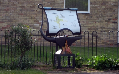
You can save a few yards by using the footpath from the village green to Mill Road and Glebe Road. The route is shown on the sign board beside the village green.
By Bicycle - On Foot - By Car - By Bus - By Train